Wildfire Risk in Scotland
Blog by Joyce Reid, Media officer
At the end of last year (November) JHI staff presented at the UK Wildfire 2024 conference, a bi-annual conference hosted this year by the Scottish Wildfire Forum. The event attracted industry experts, fire and rescue services, researcher scientists and thought-leaders from across the globe including UK, Portugal, Norway and South Africa to discuss issues around wildfire.
Wildfire risk is a growing concern amongst land managers and the fire service across Scotland with climate and land-use change, particularly changes in seasonal rainfall, reductions in herbivore pressure and reforestation acting as potential fuel sources. The conference was an important platform to engage in knowledge exchange and discussion across sectors.
Ahead of the 2-day event at P&J Live in Aberdeen, the Hutton, in partnership with the South Grampian Wildfire Group, hosted a site visit to the Glensaugh Climate Positive Farm https://glensaughhutton.ac.uk to give people the opportunity to see at first hand the systems and equipment in place to tackle wildfire in the local environment – local resilience in action. The demonstration included outdoor demonstrations of ATV-mounted fire fogging units and the use of helicopters in firefighting.

What are the findings of our research at the Hutton?
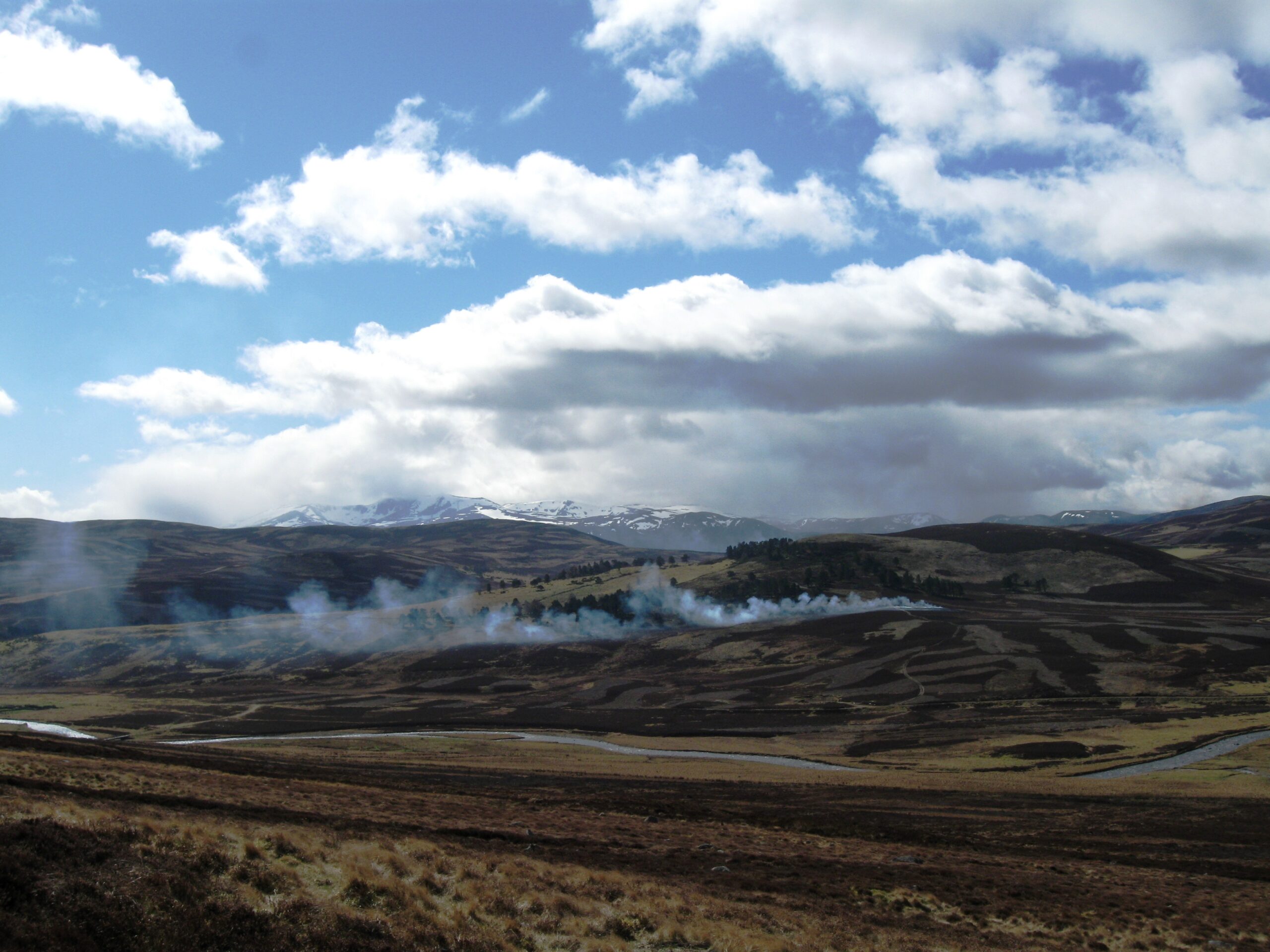
Our research has involved spatial mapping of wildfires across Scotland. One line of research has been addressing the factors that influence the severity of wildfires and follow up survey work to understand the recovery of plant species following different wildfires. Another line of research has assessed the spatial overlap between muirburn, controlled burning and wildfires.
Wildfire severity in moorlands is affected by small- and large-scale factors. Fires are more severe on steeper slopes and less severe in wetter habitats. Fires are also more severe when winds are stronger and the atmosphere is drier. Dry heath, typical of moorlands in the east of Scotland, experiences the highest fire severity and greatest initial effect on vegetation composition. It can take many years for the plant community to resemble the pre-fire composition. Wet heath and blanket bog are generally less affected and recover relatively quickly. Recovery tends to be slower at high altitudes, especially as the mosses recover slowly leaving bare ground at risk of erosion.
Our Scottish Government-funded study of muirburn and wildfires found evidence of wildfires over 442 sq km of Scotland’s moorlands over a five-year period, with 96% of them outside of muirburn areas. The total area affected by wildfire is only 1.1 % of the total moorland but there are concerns the area may increase with climate change and the damage may be greater as wildfires are more likely to burn deeper in the vegetation layers and even into the soil.
Heather grasslands, dominated by purple moor grass, and peat bogs in the north and west of Scotland, experienced a far higher proportion of wildfires compared with other vegetation types, including heather heathlands, the heaths of the east on drier soils, where most muirburn is carried out. Discussion amongst conference attendees on the ground in these regions confirmed these aerial and remote sensed observations.
Although the total area affected by wildfire averages only 1.1 per cent of the country’s total moorland, we are anticipating an increase in the size of fires as well as their intensity: more severe fires with greater impacts. Sharing these results with members of Scottish Wildfire Forum and other stakeholders is very important to allow for better planning of land use and responses to fires breaking out.
What’s next?
Understanding where wildfire is happening and its causes is a really important step towards helping to prevent, reduce and manage these events happening in our landscapes.
Our research combined with climate projects suggests that conditions for more severe fires will occur more frequently. We also found there is very little overlap between muirburn and wildfires, indicating that muirburn is not a major source of wildfires.
There needs to be more research into wildfire risk, including intensity and spread, in our moorland habitats, particularly habitats such as heather grassland, where we found the highest occurrences of wildfires. We also need to understand the conditions that allow the fire to burn into the peat, thus causing catastrophic losses of carbon stored in the soil.
Currently the Met Office issues a Fire Severity Index in England and Wales, which is not an assessment of the risk of wildfires occurring, but an assessment of how severe a fire could become if one were to start, but there is no such system in place in Scotland. Researchers presenting at the Wildfire conference are developing a wildfire risk, but more data specific to Scottish habitats of changes in fuel loads and future wildfire risk is needed.
Disclaimer: The views expressed in this blog post are the views of the author, and not an official position of the institute or funder.
